What is a Biodiversity Monitoring solution?
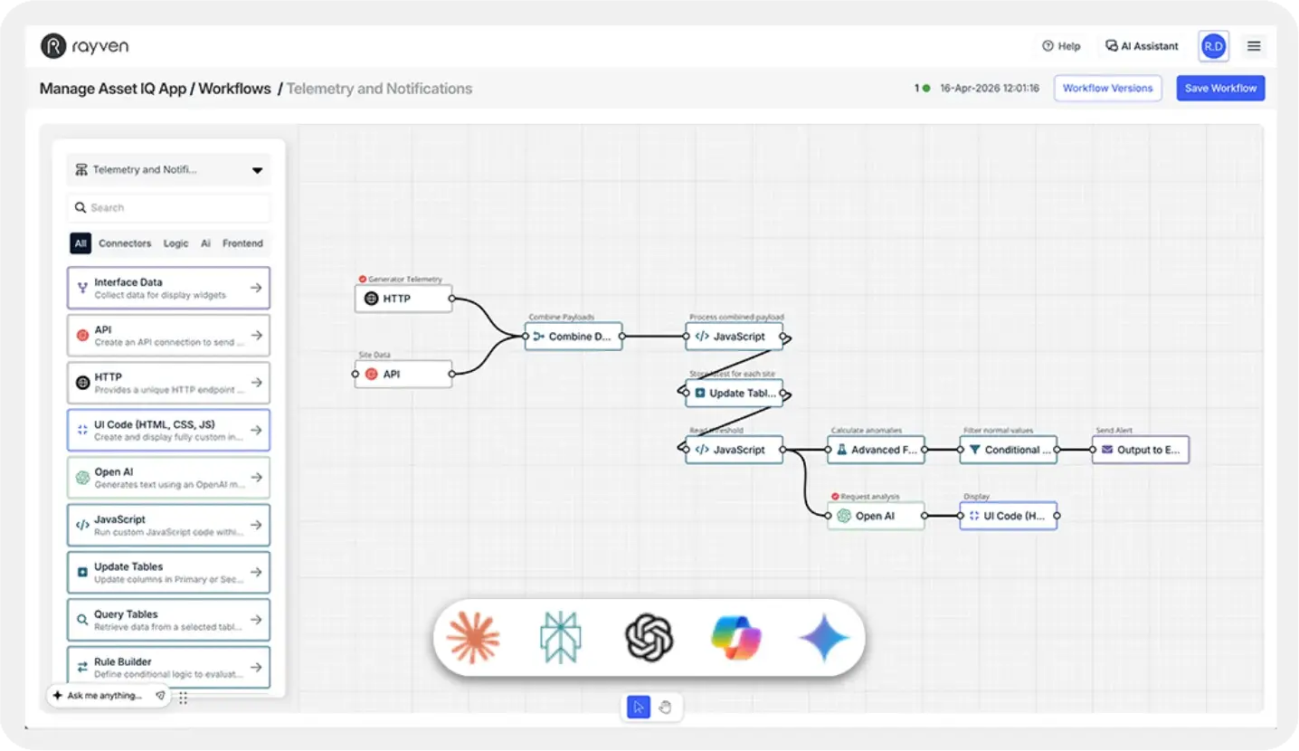
A Biodiversity Monitoring solution uses IoT sensors, acoustic monitors, camera traps and real-time data to remotely track, record and analyse fauna and flora at scale. Rayven's IoT platform aggregates data from multiple devices and locations, giving conservation teams a unified, real-time view.
What can a Biodiversity Monitoring solution track?
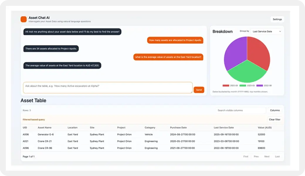
The solution monitors wildlife activity via acoustic sensors and camera traps, vegetation health via environmental sensors, water quality, soil conditions, weather and human activity encroachment. All data flows into dashboards accessible from anywhere, in real-time.
How does IoT help with biodiversity monitoring at scale?
Traditional biodiversity monitoring relies on manual surveys, which are costly, infrequent and labour-intensive. IoT-enabled monitoring collects data continuously from remote locations, enabling real-time alerts and long-term trend analysis across large areas without ongoing site visits.
What sensors and devices can connect to the solution?
Rayven's Integration Layer connects to acoustic species detectors, camera traps, environmental sensors, satellite-connected loggers and weather stations. Any device with a data output - wired, wireless or satellite - can be integrated into the platform.
How does the solution support environmental compliance and reporting?
The system creates a continuous, timestamped record of biodiversity data, ready for environmental impact assessments, biodiversity offset reporting and regulatory compliance. Reports can be generated on demand or scheduled automatically, eliminating manual data collation.
How quickly can a Biodiversity Monitoring solution be deployed?
Most clients go live in 2-12 weeks. Rayven's ready-to-go components accelerate the build, with customisation for your specific species, habitat type and monitoring requirements. Rayven's team handles the full technical deployment from sensor to dashboard.
Can the solution cover remote and hard-to-access monitoring sites?
Yes. Rayven's platform supports satellite and cellular connectivity, enabling monitoring in locations with no mains power or fixed network infrastructure. Solar-powered edge devices collect and transmit data autonomously from remote sites, indefinitely.
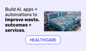
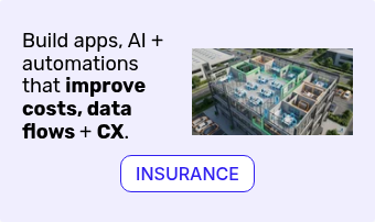
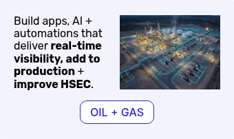
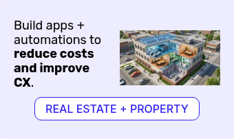
What industries use Biodiversity Monitoring solutions?
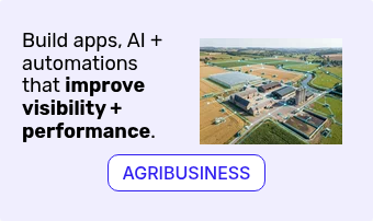
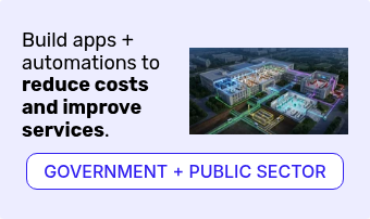
Biodiversity monitoring is used across mining and resources, agriculture, infrastructure development, conservation organisations, national parks, local government and environmental consultancies - any sector with environmental obligations, impact assessment requirements or conservation goals.
How does real-time biodiversity data improve conservation decisions?
Real-time data enables rapid response to encroachment events, illegal activity or environmental changes. Long-term trend data informs habitat management decisions, offsets planning and environmental impact assessments - replacing costly, infrequent manual surveys with continuous intelligence.
How does Rayven's solution compare to traditional biodiversity monitoring methods?
Traditional methods involve infrequent manual surveys with long reporting lags. Rayven's solution provides continuous, real-time data at a fraction of the per-data-point cost. A flat subscription covers unlimited sensors and data points, making comprehensive monitoring viable at any scale. Book a demo to learn more.


/Website%202026/Partner%20+%20Tech%20Logos/Integration-mulesoft.webp) Integration
Integration/Website%202026/Partner%20+%20Tech%20Logos/storage-snowflake.webp) Storage
Storage/Website%202026/Partner%20+%20Tech%20Logos/Streaming-Confluent.webp) Streaming
Streaming/Website%202026/Partner%20+%20Tech%20Logos/workflow-zapier.webp) Workflow
Workflow/Website%202026/Other%20Pages/Bubble-alt.png) App Dev
App Dev/Website%202026/Partner%20+%20Tech%20Logos/Data-Lake-Databricks.webp) Data Lake
Data Lake/Website%202026/Partner%20+%20Tech%20Logos/Visualization-PowerBI.webp) Visualization
Visualization/Website%202026/Partner%20+%20Tech%20Logos/IoT-ML-AWS.webp) IoT / ML
IoT / ML/Website%202026/Partner%20+%20Tech%20Logos/Security-Crowdstrike.webp) Security
Security


/Website%202026/Industries%202026/Energy,%20Utilities%20+%20Water/Energy,%20Utilities%20+%20Water%20Tech%20Logos/Schenider-electric.png)
/Website%202026/Industries%202026/Energy,%20Utilities%20+%20Water/Energy,%20Utilities%20+%20Water%20Tech%20Logos/ecostruxurelogo-300.png)

/Website%202026/Industries%202026/Energy,%20Utilities%20+%20Water/Energy,%20Utilities%20+%20Water%20Tech%20Logos/IgnitionLogo-300.png)
/Website%202026/Industries%202026/Facility%20Management/Facility%20Management%20Tech%20Logos/MEXLogo-300.png)


/Website%202026/Industries%202026/Facility%20Management/Facility%20Management%20Tech%20Logos/QuickBooks-300.png)


/Website%202026/Industries%202026/Manufacturing/Manufacturing%20Tech%20Logos/Outlook-Emblem-300.png)